It was first reported as a seismic-like event three miles south of Luis Lopez on Friday, Jan. 27.
According to the U.S. Geological Survey, a seismic event occurs when the natural tension in the bedrock quickly changes, so that the rock breaks or cracks. When the shock wave hits the ground, it is sometimes felt in the form of a vibration.
“When we see a seismic reading on our instruments, usually it’s an earthquake, but maybe not,” said Mairi Litherland, Manager of New Mexico Tech’s Seismological Observatory located inside the Bureau of Geology and Mineral Resources building.
“There’s actually a wide variety of human activities that can cause seismicity, from mining explosions to certain geothermal energy production, dams and reservoirs cause changes in the stress of the earth that can cause quakes,” Litherland told Chieftain editor Cathy Cook following a quake in December. “But in New Mexico commonly, in other parts of the country and the world, the most common induced seismicity that we see in the present is caused by oil and gas production.”
“This event was definitely an earthquake,” said Litherland.
She confirmed January’s seismic-like event was a 2.2 magnitude quake with an epicenter five miles down, which is normal for this region of New Mexico. The data can be found on the Seismological Laboratory’s website.
The Seismological Laboratory was started 60 years ago at New Mexico Tech by Dr. Allan Stanford, and Litherland said the size of the network has grown and shrunk over the years, “but we’ve always had at least some seismic monitoring happening in the Socorro area, and we continue that network to this day. We always look through the seismic signals and try to post, within a few days, each event.”
Associated with local seismic activity is the Rio Grande Rift – running from the Jemez Mountains down through the state – caused by a stretching of the crust, rather than a pushing together of plates. Related to the rift is the Socorro Magma Body lying 12 miles below the surface between Socorro and Bernardo. The pancake-shaped “blister” is slowly inflating and stressing the rocks above it, causing the ground above it to rise one to two millimeters a year.
This rising, researchers say, causes shallow earthquakes, generally in the 1.0 or 2.0 magnitude range.
Records at New Mexico Tech show that the Socorro region averages six earthquakes a year with a magnitude of 2.0.
A little over two months ago, a 3.6 magnitude earthquake was reported southwest of Luis Lopez by the USGS. In 2017 a 3.8 magnitude earthquake was recorded near La Joya.
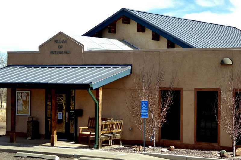
In December 2018, a magnitude 3.7 earthquake was followed by two lesser magnitude quakes that were felt in Magdalena, and in February 2022, a magnitude 2.6 quake was felt in the Lemitar area.
“When an earthquake happens, we record it on our sensors and get the magnitude and
location,” she said. “But depending on the specific geology of the region, the way the shaking travels to different areas can be different. In some places, the shaking could go pretty far, but in other directions, it could be more localized. So, in terms of understanding how earthquakes impact people, getting these reports are extremely helpful.”
There have also been measurable earthquake swarms in the area in the last 40 years and have generally been in the 3.5 magnitude range.
The 6.0 magnitude 1906 earthquake was the strongest in the history of New Mexico.
“We continue to have earthquakes, small ones that don’t do any damage,” Litherland said. “But we could have another big one.”

